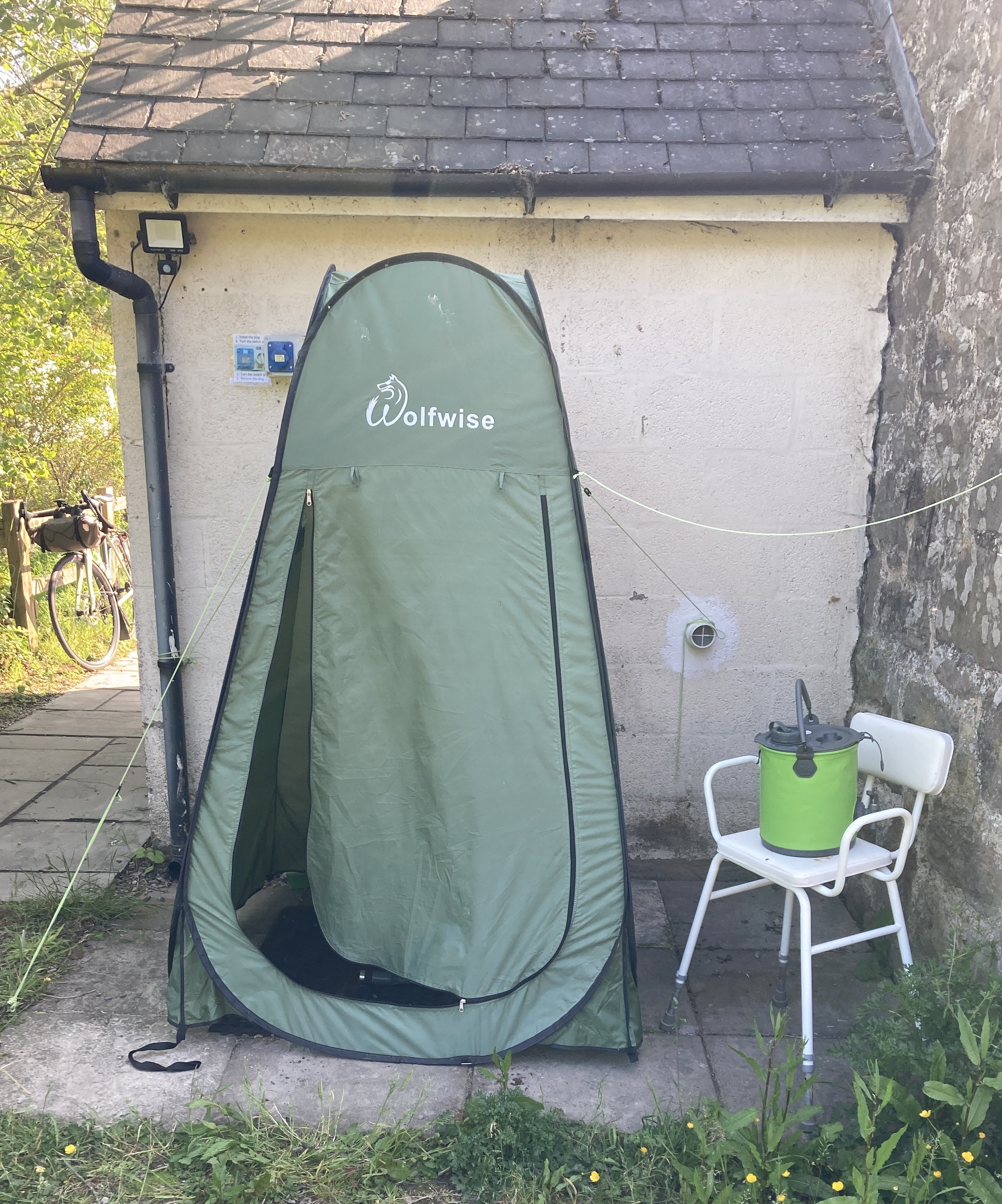
After a decent night's sleep I was woken early not by the dawn chorus, but by the sound of heavy rain on the tent. No sunrise for me this morning unfortunately.

I knew rain was forecast but didn't know when or for how long. Taking advantage of a break in the showers I packed up all my sleeping equipment in the tent, then packed the tent away and set off downhill into Market Weighton. I turned north out of town in the morning traffic up towards the A614, crossing over and heading towards Londesborough. Here I turned left onto a narrow, and what I hoped was a quieter lane, but still I had the impatient rush hours cars squeezing past - it turned out that this was a diversion for some roadworks. The rain started again at this point, and riding through Burnby I soon came to the outskirts of Pocklington, passing the household waste recycling site that was particularly pungent last year, fortunately no smells were emanating from it this time. In Pocklington I stopped at Market Street cafe for beans on toast and a pot of tea to set me up for the next stretch.
Setting off again I left Pocklington on Kilnwick Road, then headed north past Kilnwick Percy Golf Club and the Madhyamaka Kadampa Meditation Centre, with its World Peace Cafe. I'd have liked to have called in for a brew here but it wasn't open until 11am sadly. A little further on at the top of a climb by Jenny Firkin Wood I came across the strange site of two benches at the side of the road - presumably for tired hikers as it's a popular area for hiking. The rain had stopped by this time, and I headed downhill into Millington through a very pretty dale which zig-zagged past Millington Woods and onto Millington Pasture where a couple of brown Longhorn cattle were grazing.
The road climbed up to a junction with Pocklington Lane and headed towards Huggate, where there was another promising tea room that didn't open until 11am! Just before Huggate I turned left on a wider road heading towards the A166, which climbed up to a junction where I turned left again back towards Millington, and after a mile took a right back towards the A166.

This time I reached the A166 where a cycle lane by the side of the road took me a little way down to a crossing point. The busy traffic lead to a bit of a wait to get over, but eventually I rode onto Roman Road, turning off after a mile towards Thixendale where a lovely downhill with a lark singing in the sky brought me to the edge of the village. It was from this point that the Sundown 60 ride headed back to the Wold Top brewery, but today I was heading in the opposite direction westwards. I'd ridden into Thixendale from the other direction, another lovely downhill, four times previously and it is one of my favourite roads to cycle on. Today for the first time I rode out of the village uphill, and it was just as lovely, not too tough until right at the very top. I passed another herd of brown Longhorns, with some calves sleeping, and also some sheep that had recently been shorn.

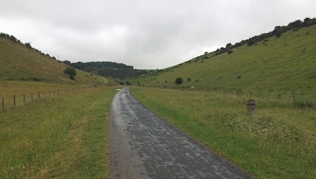
Making it to the top of the climb, I headed through Aldro plantation and came to a crossroads on the edge of the Wolds with a panoramic view over the Howardian Hills National Landscape stretching out in front of me. Crossing over I dropped down into Leavening, scorching down the hill that saw me struggling up the previous year, where I stopped at the Jolly Farmer Inn to remove my rain jacket as it was getting warm. Heading north out of Leavening I continued downhill towards Burythorpe, turning west again to drop down further into Westow and then on to the western extremity of the route at Kirkham. The route didn't quite reach Kirkham Priory, but instead turned back eastwards at the Stone Trough Inn, a large pub that proclaimed itself open "all day, every day". As it was just on 12 noon I was sorely tempted to drop in for some lunch, but pushed on through the leafy lanes towards Norton, where I stopped for an energy gel in anticipation of the fierce climbs I knew lay ahead. Leaving the main road behind after Norton, I turned off towards Settrington, riding through the village to come to the ford of Settrington Beck.

Rather than risk getting my panniers wet, even though they were waterproof, I opted for the close by footbridge over the beck and rejoined the road on the other side. A little further on I came to the point on the route that I'd not been looking forward to;

Dropping into my lowest gear, and repeating my hill climbing karma of "how slow can you go", the question was how far I'd get up the hill before bailing out. The answer was surprisingly further than I'd expected - in the end I only pushed the bike up for a short distance before remounting and continuing the climbing, of which there was another mile and a half. At the top of the climb I turned off to drop into Duggleby down the steep descent of Duggleby Hill. Before it got too steep I stopped to put my rain jacket back on as the clouds were looking very threatening, and indeed I hadn't finished zipping up before the rain came on. From here the rain came down heavily, and it was difficult to see out of my glasses for the water. Into Duggleby I rode on to Kirby Grindalythe where I turned off for Sledmere. The road reared up again here, as I knew it would, and I rode in the middle with muddy brown streams rushing down both sides of the road. At the top of the first climb I started descending again, this time with the muddy brown streams rushing down alongside me. At the foot of the climb the two streams were meeting in the middle of the road, after which it reared up again and for the second time in a few miles I was off and pushing. Again it was only a short push, and I remounted and continued along the road to come into Sledmere, where I turned left and shortly pulled into the car park of Sledmere House and Gardens, where the cafe staff were busy brushing rainwater into the drains.

I took my gloves off, wrung them out and left them on my bike while I dripped into the cafe and ordered leek and potato soup, bakewell tart and a coffee. Fortunately I only had seventeen miles left to ride, and I knew the only real climb left now was the final push up the drive of the brewery. Finishing lunch, the rain was stopping and I left Sledmere House and the village and headed north east. The road descended steadily and I felt good as I rode through Helperthorpe, Weaverthorpe and Butterwick, where I again removed my rain jacket as the sun had come out and it was warming up with the rain starting to steam off the road. At Foxholes I headed north to begin the climb of Ganton Road, which had roadworks for resurfacing in places. I climbed steadily up, feeling the sun on my weary bones, before turning eastwards for the run in to Fordon and the brewery, riding on through more leafy lanes with fields of wheat or barley either side.

The road was descending again into Fordon, with the final drop into the village of 10% to be taken carefully due to the gravel on the road in places. Riding through the village I continued on the last mile or so of the route, with the fields of barley for the brewery on my right and the steep hills on my left.
I came to the brewery entrance and turned in, bracing myself for one last effort. I could see the stepped gravelly drive rising ahead of me, and ground my way up the 10% incline to roll into the car park and finish the challenge. The two days had been very enjoyable indeed, although the stretch from Settrington to Sledmere proved to be very tough with the rain and the gradients combined. All that was left now was to pack the bike and kit into the car and set off for home, and a nice hot bath!
Distance ridden: 69.3 miles
Time : 6 hours 13 mins
Elevation : 4,108 feet