Sunday, March 17, 2024

Scotland 2024 day six : short but sweet

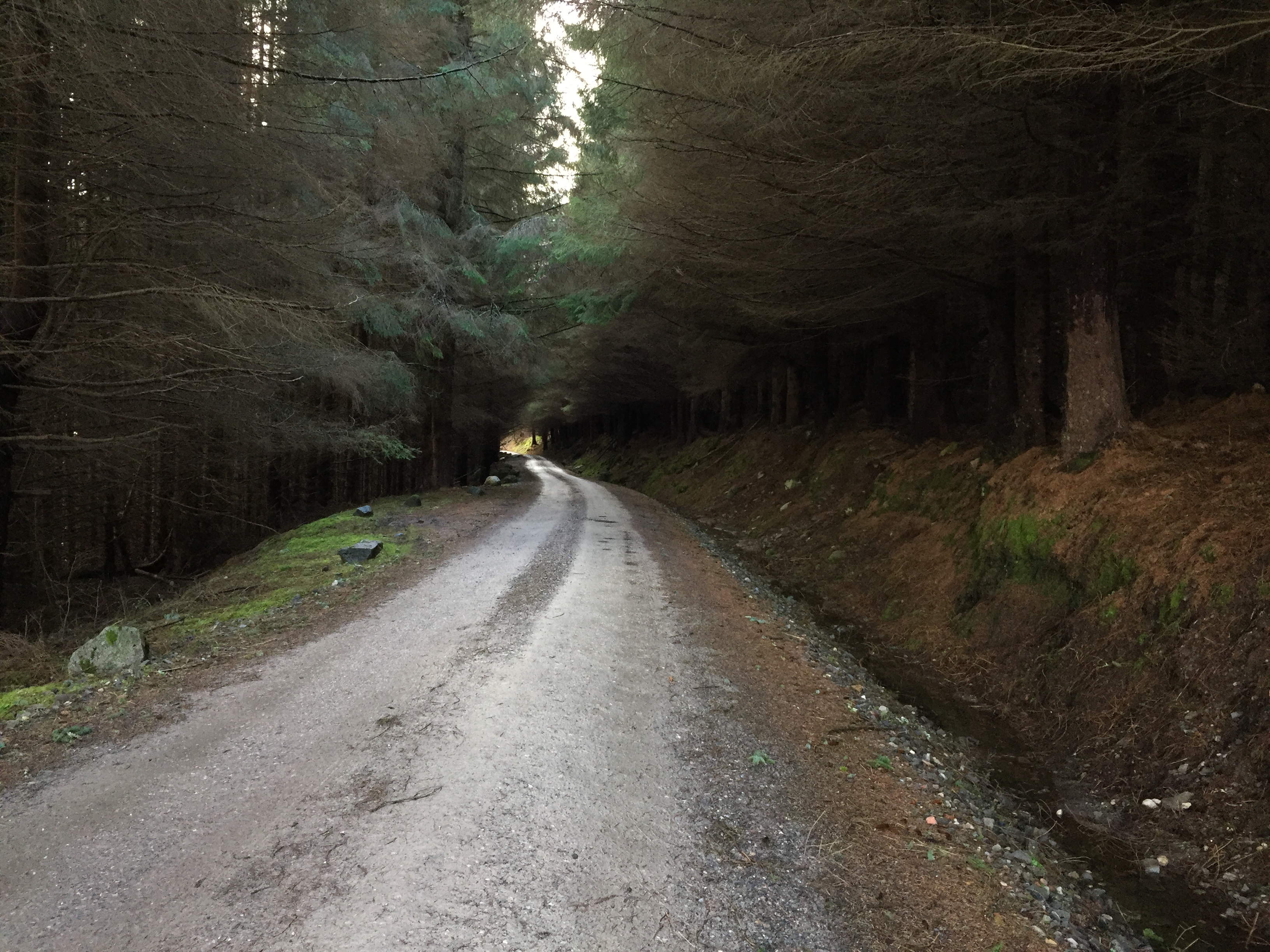
For the last ride of my Scottish trip, I opted for a short trip south of Dingwall to visit Conon Bridge, Muir of Ord and Beauly, which I’d planned the night before. The forecast was for a warm and sunny day, but when I set off from the bed and breakfast it was still quite chilly from the previous night’s rain. I headed out of town and picked up NCN 1 on what appeared to be an old road, judging by the old cats eyes still present. At the roundabout I crossed over into Maryburgh, following the NC500 tourist route. After Maryburgh the road crossed the River Conon at Conon Bridge, with rail and pedestrian bridges just upstream. I passed the Conon Bridge Chip Shop / Chinese Takeaway with the distinctive smell of Chinese food in the air. Leaving Conon Bridge the road passed through plenty of woodland on either side, opening out at Conan Main to give views over the fields to the snow capped mountains in the background. 


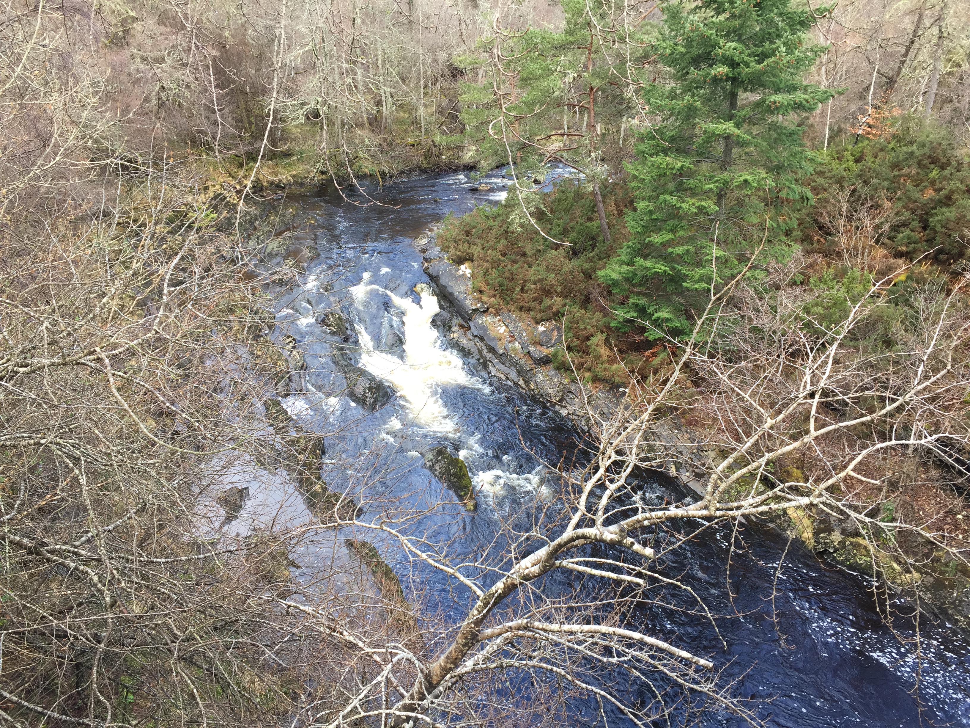
Shortly after I turned off towards Highfield along a lovely tree lined road, and at the junction with the A832 came across the Urray Burial Ground with its attractive Presbyterian church. Turning right, I followed the main road to a bridge over the River Orrin and from there headed west with hills on my left. At Marybank, I turned left, with my new computer beeping away to tell me there was a steep climb coming. Sure enough, my eyes and legs soon confirmed this, and I headed up The Brae, the prosaic name belying the difficulty of the climb. I stopped near the top to get a photo of the superb view behind me, and a little further on spotted a sign pointing to a Nursing Home and Activity Centre – strange bedfellows perhaps! A little further on I spotted a small deer grazing in a field close to the road, and slowed to take a photo. Sadly it realised I was there, and sloped off before I could get a good shot. My disappointment didn’t last long, as shortly after I came across the River Orrin again, tumbling over the rocks and flowing under another bridge. 


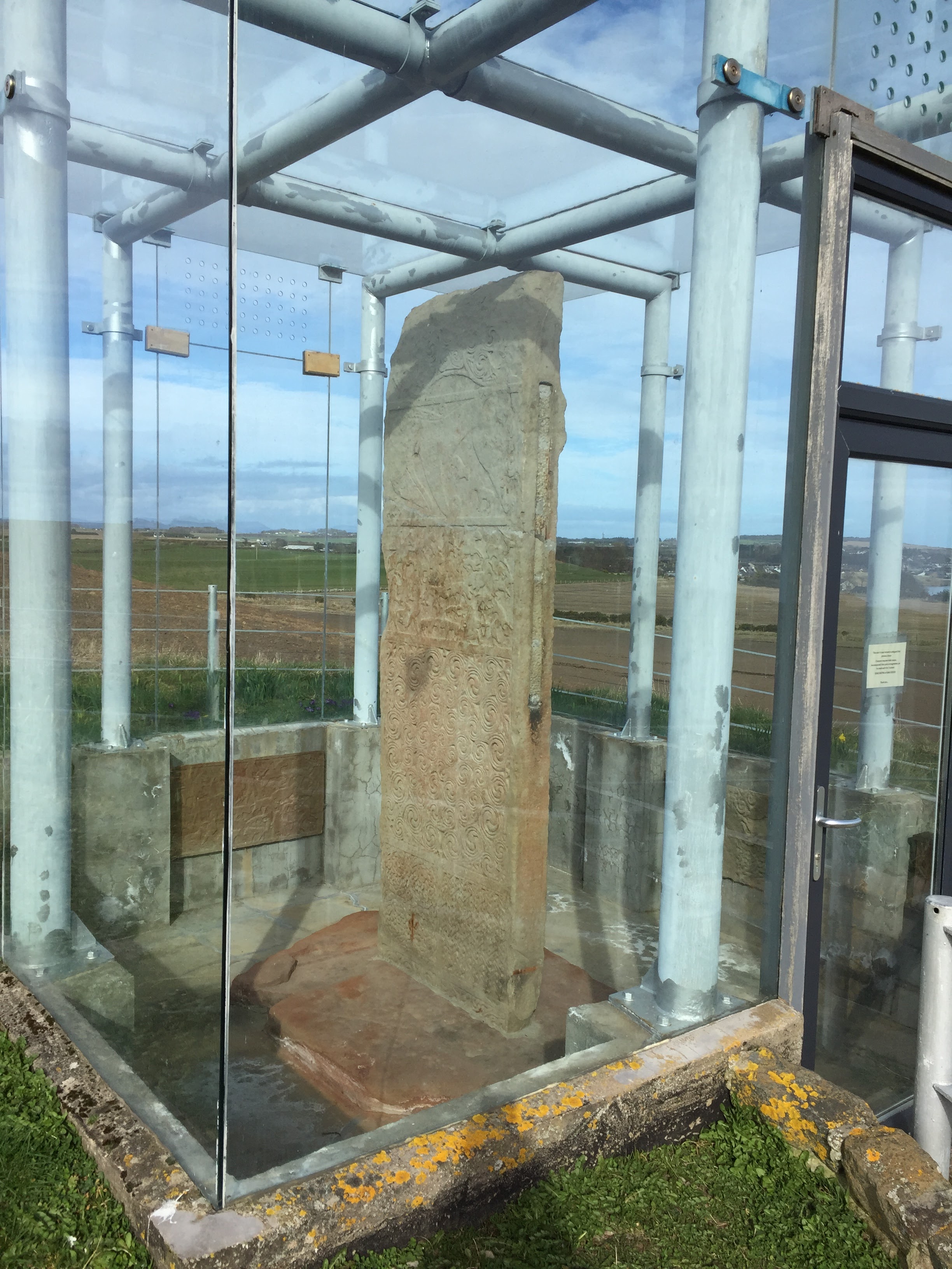
I also noticed the trees here were covered in copious amounts of what I assumed was lichen, something I’d noticed on previous rides this week. Another bridge followed soon after, and then the road descended through more woodland and came to Muir of Ord, where the first building I came across just happened to be the Singleton Glen Ord Distillery. Now that’s how you plan a bike route! I called in at the shop, and found that it was open until 5pm, so rode away with the intention of returning later in the car. I rode through the edge of Muir of Ord and near the station headed out and up on Corry Road. The road rose up here and gave terrific views over the Beauly Firth, with Kessock Bridge – connecting Inverness to the Black Isle – in the distance. As the road continued to climb, I noticed a heron standing in a large pool in an adjacent field, and also a robin chirping away in the trees above my head. The road undulated for a while, and I spotted a bird of prey hovering over a field, after which the road descended steeply towards Beauly. As I flew downhill, I came to a railway bridge and spotted a black cat on the right, hoping it wouldn’t run out in front of me. Fortunately it didn’t. In Beauly I saw quite a few cyclists in the cafe and on the road, enjoying the sun, which I was was starting to feel for the first time that day. I stopped by Beauly Priory, which was closed awaiting conservation work, for a drink and an energy bar. 


Remounting, I continued along the A862 main road towards Muir of Ord, spotting a fibreglass highland cow on the left, in front of a security system supplier, followed by the real thing on the right hand side at Robertsons The Larder – a huge black cow with equally huge horns. 


The traffic was passing me very fast on this stretch of road, although it wasn’t particularly busy, and when a shared use path offered itself on the left I gratefully accepted it. This brought me to the outskirts of Muir of Ord industrial estate but then spat me back onto the road. I shortly turned off the main road to take the B9169, crossing the A832 to climb again with the sun really making me feel warm now. I’d taken my gloves and buff off at Beauly, and now I pulled the zip of my top down a little to prevent overheating. Passing Mulbuie Primary School I came across a monument on the right of the road, erected to the memory of Sir Hector Archibald MacDonald. 


A little further on the views opened up to the west, and I spotted the higher buildings of Dingwall in the distance. Passing Black Isle Dairy, I reached the A835, crossing over to thread through to rejoin NCN 1 for the wonderful swooping downhill that I’d enjoyed yesterday. I followed NCN 1 to rejoin and run alongside the A835, then at the roundabout outside Dingwall to retrace my tyre tracks from the morning all the way through to the B&B. What was a very much last minute planned route had turned out to be a very enjoyable day on the bike, with some unexpected treats for the eyes, and was an excellent way to end my Scottish adventure.


Saturday, March 16, 2024

Scotland 2024 day five : loads of fabulous views and a technical / user fail

The weather forecast was good for today – sunny intervals and dry until maybe late afternoon. I was hoping for some great photos from my trip round the Black Isle. It was chilly when I set off after breakfast, and headed through town on NCN 1. I passed one of the bed and breakfasts that I’d been considering for staying, just by the railway station, and left town on a cycleway (shared use path) alongside the main road. My new bike computer was making strange beeping noise as I’d gone slightly off the planned route, and I knew I’d have to get used to how it worked along the way. At the roundabout I continued left on the cycle path and crossed the wide River Conon, coming to a sign for An T-Eilean Dubh – The Black Isle. 


It’s not actually an island but a peninsula, surrounded on three sides by the sea; Cromarty Firth, Moray Firth and Beauly Firth. Shortly after the sign for the Black Isle I turned left on the B9163 and headed up the west side of the Isle. On my left I had some great views of Cromarty Firth, and I picked out all the places I had ridden through on my last ride; Evanton, Alness, Dalmore, Invergordon and all the seafaring industry sites. I also saw another flight of geese heading somewhere north. On my right was arable farming land, dipping slightly away from me before rising again to the horizon. At one point I passed a rural cemetery with far more burials in it than would be expected given the sparseness of population. I crossed the A9 with its fast moving traffic and began climbing for a mile and a half. At the top of the climb I turned to look behind me and was rewarded with a fabulous view of the Cromarty Firth with the hills behind. 


Continuing on, the road passed the occasional house or farm, one of which had an interesting metal fish sculpture below the house name. Shortly after Balblair I came across the Kirkmichael Trust, which is an interesting medieval church. Further along I stopped alongside Newhall Burn as my eye had been caught by some interesting small flowers by the side of the stream, no idea what they were. The road continued past the RSPB Udale Bay nature reserve and on through Jemimaville, a small planned village from the 1820s. Although the sun was shining, I seemed to be battling into a chill northerly wind, which made it a bit of a struggle in places, but soon I was entering the town of Cromarty and found a cracking cafe near the jetty – Slaughterhouse Coffee – where I stopped for a latte and a cherry bakewell blondie.


Setting off again, I threaded through the town and left on the A382 going uphill, despite my bike computer telling me to do a U-turn. At the top of the hill, I came to the conclusion that I had indeed gone wrong and turned back, flying downhill and heading out of town along a quieter road that soon rose very steeply, passing a farmer with a dog herding sheep. At the top of the climb I turned left for another climb up to South Sutor viewpoint, a superb view from the tip of the Black Isle where the Cromarty Firth joins the Moray Firth. 


Turning back from the viewpoint I rode through a farm track to pick up an unclassified road offering more superb views of the Moray Firth, soon climbing severely through tall woods before giving a nice long descent to join the A832 to head into Rosemarkie. Here, I turned off the main road to ride along the sea front, where I found a cracking beach spoiled by long lines of cars parked on the road. I rode along the front and just after Fortrose and Rosemarkie Golf club turned left for Chanonry Point, the road passing through the midst of the golf course with signs warning of golf balls for ¾ mile. Chanonry Point is well known for being a great spot for viewing bottlenose dolphins, although sadly the best time to see them is in summer. I stopped for a snack and drink, and luckily as I scanned the firth in front of me I spotted a seal poking its head above water for a few seconds before diving back underwater again. 


After a rest I headed back through Fortrose and picked up the old railway path to Avoch. This was a fairly muddy track running high above the main road, and had a couple of interesting features along the way, including a couple of benches. Partway along the track I somehow lost the map view from my bike computer, and so stopped by one of the benches to try to sort it out. I managed to get the map back and set off again, and the track came to an end in Avoch alongside Avoch Old Churchyard. From here my route took me through Avoch and out onto some farm roads that varied from hard packed gravel vehicle tracks to muddy, potholed tracks to a final stretch of grassy track. This ultimately spat me out on the A832 through a private residence, and I followed this road to turn left into Munlochy, where there was a lovely view of Munlochy Bay. 


Leaving Munlochy, I turned left off the B9161 to climb up towards Kessock Caravan Park. Twice on the climb I had cars coming in the opposite direction waiting for me at passing places as I toiled uphill. I have been impressed on many occasions by the courtesy shown to me by drivers in Scotland. Following the climbing I was treated to a good downhill to the A9, where I picked up NCN 1 again which ran as a cycle path alongside the busy A9 for a short while before leaving to join an unclassified road heading west. At this point I had a good view of the third firth of the day, Beauly Firth. 

I followed NCN 1 along the rolling roads with views of the arable farming land that makes up much of the Black Isle on my right. After joining the A832, I crossed the roundabout with the A9 and followed another cycle path alongside the A835. Whilst being a good, safe, well surfaced path (apart from a small stretch where it look as if the path was subsiding, and I had to dodge some traffic cones), the cycling was a bit soulless as a result of having a busy road so close. Fortunately after a couple of miles NCN 1 left the A road and joined the B9169 before turning left for a fast downhill stint back to the B9163 where I’d started my journey into the Black Isle. From here I retraced my route back to the roundabout outside Dingwall where I noticed to my horror that my bike computer hadn’t been recording the ride for the last twenty miles or so. It was a disappointing end to a day that had delivered wonderful views in some glorious weather, but not so disappointing as to spoil it. The Black Isle has delivered all I had hoped it would, in spades. 

Friday, March 15, 2024

Scotland 2024 day four : Rest day

After three tough days, a hundred and sixty two miles and eight thousand seven hundred feet of climbing, I felt I'd deserved a rest day. Following a technical breakdown on my Wahoo cycle computer, fortunately after I'd completed yesterday's ride, I was left without any means of navigation for the rest of the trip and so I drove to Halfords in Inverness where I picked up a new Garmin. I then drove to Drumnadrochit part way down Loch Ness for a spot of touristy shopping, picking up some cheesy gifts for the folks back home, returning to Dingwall via Beauly. A nice scenic drive, without too much effort. Back at the bed and breakfast, after a spot of lunch I did some minor maintenance on the bike, with an audience of inquisitive chickens looking on.


I also spotted a couple of birds of prey circling high overhead, possibly red kites which are to be found in the area. Made a nice change from the ever present sea gulls! I then set up the Garmin, and loaded on the route details in preparation for the weekend. A bit of stretching, massage and yoga in the afternoon and I was ready for tea, then a nice relaxing evening doing nothing. 

Although it may seem a bit of a missed opportunity having a day of no cycling, it will set me up nicely for my last two trips.

Thursday, March 14, 2024

Scotland 2024 day three : a pilgrimage to Tain

After looking at the weather forecast the night before and having regard to two tough rides so far, I’d plumped for a shorter ride to one of the lochs. Then, for some unknown reason, I checked the Glenmorangie distillery opening times and found they were shut at the weekend. So today turned into the Glenmorangie ride. I got all my gear together after breakfast, unloaded the bike from the car, and set off. One hundred yards down the road I turned round, and went back to the B&B to pick up my water bottles, which I’d left in my room! My B&B in Pitlochry had been up the hill from the town, but this time my B&B was at low level, and I soon had to climb steeply to get to the road I needed to take. As I crawled up the hill to the junction, a kindly school crossing lady held up the traffic for me so I could turn right without stopping. The road out of Dingwall to Evanton climbed for a while, with the smell of pine in the air, and soon I was afforded great views of the Cromarty Firth to my right. 


After a couple of miles I passed the Highland Farm Cafe, which I’d noticed while planning my trips, and which I’d intended to call at later. The road had levelled out by this stage, and by levelled out I mean it had downs as well as ups. Eventually I reached Evanton, passing the pretty Kiltearn Parish Church, and turned onto the B817. Just outside Evanton I noticed signs for National Cycle Network Route 1 on the right hand side of the road, and thought I may as well get on it and see what it had to offer. It started out paved, and then went through a lovely little wooded area where the tarmac was covered in tree detritus. 


It went up and down, crossing the road a couple of times, and was actually quite fun to ride, if not quite as fast as being on the road. The road was fairly quiet, and any cars that did pass me did so on the other side of the road, leaving plenty of room as they passed. Eventually I came to a junction with the B9176 Struie Road and turned left. After a mile or so the road bore left and dived down to a stone bridge over the River Averon. After the bridge, the road began climbing again and soon after I came across a sign suggesting Dublin was on the left! A little further on, my attention was grabbed by a whole load of empty plastic bottles stuck in a fence on the left. This was Ardross Primary School, and the bottles had been carefully placed so as to spell out the name of the school. 


The road had been gently climbing for a while, and I knew there was a big climb to come, so I debated whether to change my route and go for an earlier version I’d planned, where there was less climbing and a more direct route into Tain. I plumped for the latter, and kept wondering where my turn off was going to be for my original route until it dawned on me that I was actually on that part of the route, and there was no turning back! Ah well, onwards and upwards it was then. I crossed a bridge that had new tarmac on the road, and continued on, crossing another picturesque stone bridge and coming to some traffic lights for roadworks. Shortly after these, I turned off the road into Strathrory Forest, where I knew the highest point of the ride was going to be. 


Initially this was great fun, riding on good forest tracks downhill and over bridges, and then the track started to climb. Forest tracks are great for going down, but not so much fun if you are climbing. There can be gravel which sucks at your tyres, or larger chunks of stone which kill your momentum, or lumpy bits of grass in the middle of the tracks which again kills your momentum. The climbing continued for a good while, with nothing but the sound of birdsong for company. On and on the track rose, at each turn I was hoping it would flatten out and each turn showed me some more climbing. Finally though, just when I least expected it, I reached the summit to be treated to a view over the Dornoch Firth that made every minute of climbing worthwhile. I stopped and sat on a tree stump while I had an oat bar, drinking in the view. 


After a while, I sadly said goodbye to the glorious vista and set off, creating the top of the climb and starting downhill. There were some more bits of climbing to come, and eventually the track turned into a forest logging track, very sandy, which wasn’t easy to ride through. I came to a point where in my route planning I had chosen a different forest track to the “popular route”, and followed this. It turned out to be a challenging option, with varied surfaces and of course more climbs, and it got to the stage where it was mentally taxing as well as physically. At one point I was just wishing the forest would end and I could get to the distillery. There were occasional tantalising glimpses of Dornoch Firth suggesting the end was in sight, and sure enough after a couple of bends I came to a gate across the track and left the woods. Despite having opted to miss the high section of the route earlier, I was actually glad that I had done it, it was a great experience. Shortly after leaving the forest I came to the A9, where I turned left and in a very short while crossed the road to get to Glenmorangie Distillery. 


I climbed off the bike rather stiffly, and entered the shop. I selected a bottle to purchase, and asked if there was somewhere I could get a dram as I wanted to drink a toast to my late father-in-law, whose favourite dram happened to be Glenmorangie. The lady behind the counter was brilliant, and took me to the tasting area where she poured a taster of what I’d bought, and took a photo as I drank to his memory. It was an emotional moment, and a fitting tribute to a great man. 


Leaving the distillery, I headed back along the A9 for a short distance before turning off to ride throughTain, after which the road dropped down into a flat, agricultural landscape, running straight as an arrow for miles. At one point a car was coming towards me and I realised as it went past that it was mocked up to look like the car from Ghostbusters. Further on I came across the former site of RAF Tain, which is now the Defence Infrastructure Organisation’s Tain Air Weapons Range. I took a photo and legged it before any police came round asking what I was doing taking photos of a military installation! Just after this I turned right and crossed over at the next junction to eventually come to Hilton, on the coast of the Moray Firth. Here there were a couple of sculptures by the sea, one of some giant salmon and, a few yards into the sea, the “Mermaid of the North”. Passing through Hilton, Balintore and Shandwick, I was heading back to the main road when my attention was caught by what looked like a glass box in a field. Sure enough, as I got closer I saw it was an ancient Pictish stone enclosed in glass for its protection, similar to Sueno’s Stone that I had come across in Forres on my last Scottish trip. I stopped for a nosey, and had another energy bar, and continued on after taking a couple of photos. 


At Chapelhill I stopped to take a photo of Nigg Old Church, and then turned left at the intriguingly named Arabella towards Kildary, along more straight, flat, almost featureless roads, although at one point I did come across a family of cattle in a field, seven of them were calves. At Kildary I briefly joined the A9, managing to cross over without having to stop, then heading under the A9 and the railway to pass a field full of sheep with many young lambs playing. I continued on past the very enchanting Kilmuir Easter Church, through Barbaraville after which the road ran alongside the Moray Firth, with oil rigs and ships. In Invergordon there were plenty of port operations on view, and from here the road began to get very busy, so much so that when I saw a shared cycle path running alongside I decided to take it. I made good progress on this, and soon came to Dalmore. Here, the cycle path crossed the busy road to run into Alness alongside Alness Academy and through to Alness High Street. Here, as I came to a zebra crossing at the end of the path, a lorry stopped as I approached to allow me to progress. There were plenty of signs on the roads stating “Drivers must stop at crossings”, and I must admit the majority of drivers I encountered were courteous and respectful towards me. I picked up the cycle path again shortly after this, and rode on to the junction with the Struie Road, where I picked up my outward route towards Evanton. I chose to go onto the tarmaced NCN 1 again, until it ran out just before Evanton. From here the road rose again, and I could feel the day’s activities in my legs. At one point, I heard and then saw two large flights of geese heading north in formation. I stopped at the Highland Park Cafe hoping for a coffee, although their winter hours showed they closed at 4pm and it was 3:52! Fortunately the coffee machine was still working, and they served me and let me buy a cake.


From here it was only a couple of miles back to Dingwall, and the last mile into town was all steeply downhill, leaving me with an easy coast back to the B&B. It had been another fantastic day, with much outstanding scenery, some fairly dull roads too it has to be said, but overall a fabulous day on the bike. And it didn’t rain!


Wednesday, March 13, 2024

Scotland 2024 day two ; Ben Alder

At breakfast I watched a small group of deer gamboling in the hillside opposite, while the low grey cloud of yesterday had disappeared to be replaced by glimpses of blue amongst the high white clouds. I had the feeling it was going to be a good day, especially when the sun put in an appearance. Leaving the B&B, it started to rain, and on the road north I saw a couple of rainbows including one double. Early showers had been forecast, however the temperature soon dipped a couple of notches, and the showers turned into more persistent rain. At one point the sun came out and I was treated to the wonderful sight of a complete and bright rainbow spreading out in front of me, while the sun lit up the green fields. I crossed the River Garry a couple of times on the A9, now much fuller and wider than when I had seen it yesterday in Pitlochry.


Just before Dalnaspidal I got a glimpse of the snow covered tops of the hills to the east of Loch Ericht and wondered what I was letting myself in for. Soon after I parked up at the car park of Ralia Cafe just south of Newtonmore, and had a coffee before setting out on my ride to Ben Alder. It was drizzling as I put my bike together, but that was the least of my problems as the wind was blowing a hoolie! Worse still, it was a south westerly, and I had fourteen miles of riding due south ahead of me. Thankfully I had packed my Altura rain jacket, which I bought last year with a Scotland trip in mind (and a £20 voucher from renewing my car insurance!). I pushed off, following NCN 7 alongside the busy A9. This must have been the former A9, as there were cats eyes in places and you could still see evidence of the white lines separating the carriageway. The main rail line to Inverness also ran alongside.


Soon the cycle path ended and the route followed the Old Military Road, still running parallel to the A9. Although the road was quiet, you could still hear the traffic on the A9 as it rushed along the wet road. By this time the rain had died out, and the sun was starting to come out. Although this was very welcome, the blustery wind was still brutally savage, making it a struggle to keep momentum at times. However, the staggering scenery that was unfolding in front of my eyes more than made up for the slog I had to endure, the scudding clouds and blue skies combined with the dramatic hills and wide fields were a treat for the senses. I had passed a learner driver at the side of the road when I had come off the cycle path, and he caught me up further down the road, very patiently waiting behind me for a safe place to overtake. There had been a few and he hadn’t come past, so I took pity and slowed to let him come through so as not to hold him up any longer.


From driving up I knew Dalwhinnie was just(!) eight miles from the cafe, and soon the road joined the A889 into Dalwhinnie, passing the Dalwhinnie distillery. Now I’ve been to more than a few distilleries, and I have to say it is one of the best situated I have seen, all whitewashed buildings against the backdrop of dramatic hills. There was also a road sign outside the distillery advising “SLOW Wildlife crossing”! I’d hoped the bulk of the hills surrounding the distillery would take some of the sting out of the wind, but as I passed through Dalwhinnie it seemed worse than ever, almost knocking me sideways.


In the village I turned south again to head to Loch Ericht, and the Ben Alder estate. The view of the loch as I headed along the road was stunning, and I stopped for a photo, nearly getting blown off my bike by the wind. The snow capped Ben Alder could be seen at the end of the loch from my viewpoint, although the loch actually goes further past the summit of the Ben. The road along the loch undulated (a feature of Scotland, I am finding out) and was hard going into the wind. Still, the views of the loch as I rode on were fantastic, and on the opposite shore the hills rose up with waterfalls visible. I passed the Luxury Highland Lodge building, looking very exotic, and followed the shore south, watching waves on the loch breaking like so much surf at Scarborough, the wind was that strong.


Further along, the road climbed a little and entered what looked like the mouth of a forest, looking quite dark inside. On reaching the entrance, I could see that in fact it was only a short stretch of forest, and rode on as if riding through an old railway tunnel with the light in the distance. Coming out of the “tunnel”, I passed a small waterfall on my side. As I got closer to Ben Alder it reared up larger in view, and the road threw up some steeper ascents and descents. Soon I reached Ben Alder Lodge, another exotic looking building, and stopped for a bite to eat. My original plan was to continue up onto Ben Alder and ride to Loch Pattack, however the fourteen mile headwind slog had been tough, and so with another four or five days riding to come I decided to cut short and retrace to the cafe.


Starting off again after my snack break, the change in the experience was amazing. No longer was I being pounded by the wind, bent over the handlebars. I could ride more relaxed, and at a decent pace! Even going back up the inclines was easier, although at one point my front gear refused to drop into low when selected, and I had a few seconds of struggle before it eventually behaved. I was flying along, drinking in the scenery and enjoying myself immensely. The sun was out and it was illuminating the loch beautifully, and it seemed all too soon that I was back at the Luxury Highland Lodge. Turning off the road to get to the exit, the wind had a final blast at me for a short while, and then I was back heading through Dalwhinnie again.

The Highland Luxury Lodge

I stopped at the distillery for some purchases (thank goodness I had me cheesy Radio Devon backpack with me, although I found that you could wear it with the Radio Devon side to your back, rather than showing off!) and another snack. Shortly after, on the A889 crossing the railway, the wind put in another onslaught, but soon enough I was on the Old Military Road heading north, with the hoolie at my back, and mostly downhill! I sped along, at speeds of 16 to 25 miles per hour, without even trying! There was still the scenery to enjoy, and at one point I came across a farmer unloading some sheep into a field. One of these had decided he didn’t want to join the rest, and was heading up the road. I shouted to the farmer that he had an escapee, and slowed to ensure I didn’t spook the sheep. He just kept running away from me, so I stopped while the farmer came up, at which point the sheep decided to leap over the fence into the adjacent field.


With the drama over I resumed my ride and picked up the cycle path again, which was so much nicer now it wasn’t raining. I came to the sign for Ralia Cafe, 2 miles, and coasted the final miles into the car park. I packed the bike into the car and went back into the cafe for some deserved sustenance. It had been another hard but thoroughly enjoyable ride, showcasing more of the superb scenery that Scotland has to offer.


Tuesday, March 12, 2024

Scotland 2024 day one ; two lochs

The seeds of my first ride on the Scotland 2024 trip were sown almost 50 years ago, when I received a Railway World (or Railway Magazine, I can't really remember) Annual for Christmas. In it, there was a story of a cab ride from Glasgow to Fort William, and it included a description of the line over Rannoch Moor which sounded really interesting and worth visiting. Cue a stopover at Pitlochry and, courtesy of a 2023 Christmas present, a ride to Rannoch from Pitlochry. I was joined on this ride by my friend Lawrence, who does a great job with Cycle Crieff and who had also helped with the loan of a road bike for the ride, rather than my heavy mountain bike.

We set off from my B&B downhill into Pitlochry (mental note made that a climb would be needed at the end of the ride) and turned right along the main street, the A924. Pitlochry looked a lovely town, and apparently is very popular with the tourists in summer. The A924 also is part of National Cycle Network route 7, and we followed this out of town and under the A9, passing Faskally Caravan Park to turn left over the River Garry on the B8019. The river looked surprisingly dry, given how much rain we have had recently.

The dry River Garry

The B8019 followed an undulating route, with woodland on either side which eventually gave some teasing glimpses of the River Tummel below us. The River Tummel soon became Loch Tummel, and after a few miles we reached Queen's View which gave a superb view over the loch, although as the day was grey and overcast, with some low cloud, the view was not as spectacular as it could have been. It was spectacular enough though!

The view from Queen's View

Continuing on, it was hard to keep concentrating on the road, as the views over the loch, and of the steeply banked woodland on our right, were just stunning. As well as this, the road was very quiet too, with very little traffic indeed. We passed the Inn at Loch Tummel, and then the Errochty Power Station, a lovely stone building with three very tall windows. We rode past the Parkdean Resorts Tummel Valley holiday park, and passed through Tummel Bridge. At the junction with the B846 we came across the original brickstone bridge which is nearly 300 years old and formed part of the old Military Road network in Scotland. From the bridge we had a great view of the roaring River Tummel, and indeed for the next few miles the river could be seen on our left through the trees, white in places as it spilled over boulders. It was certainly one of the most spectacular river displays I have ever seen.

The steeply wooded banks of the Tay Forest Park had by now given way to flatter agricultural lands, no less scenic than the trees. On our left the large expanse of Dunalastair Water appeared, affording more gloriously scenic views. We rode through the pretty village of Kinloch Rannoch, which had a lovely church, and then came to the eastern end of Loch Rannoch.

Lawrence contemplating Loch Rannoch

We followed the road round the north side of the loch, again on deserted roads, and eventually reached Killichonan where we came across a unique piece of hedge topiary in the shape of a dog on top of a tall hedge. Not finished with the surprises, a little further on we came across a small old cemetery which seemed totally out of place in the sparsely populated surroundings. A couple of miles on, we passed Rannoch Power Station, another power station utilising the plentiful supply of water to be found locally. We frequently came across abundant displays of snowdrops in flower, and daffodils just about budding, and fields full of sheep ready to lamb. At one point we came across a couple of women swimming in the loch, and at the western end we saw some anglers who had set up and were sitting waiting for a bite. Occasionally the sun would try to break through the clouds which gave some nice effects through the slate grey sky, and the occasional view would open up to the top of the mountains to reveal pockets of snow still in situ.

At the western end of Loch Rannoch, we decided not to continue on and do the stretch to Rannoch Station as the cafe there didn't open for the season until Saturday. This turned out to be a good decision in hindsight, and didn't spoil the ride in any way. As we turned back eastwards for Pitlochry, we found the wind was now into our faces, and shortly after we came across a group of four highland cattle, three black and one white, and one that looked only a few months old, lying together around a straw feeder. We also passed a lovely looking church. The ride now gave us some different views of the loch, including a view of the higher building of Rannoch Power Station and the pipeline feeding the lower building. We seemed to be riding alongside the loch forever, but eventually we came to Kinloch Rannoch again and continued towards Tempar and the climbing that meant we had reached Schiehallion. 

Schiehallion is a Munro (rising to 3,553 feet), is near the centre of mainland Scotland and in the 18th century was used in an experiment to estimate the mass of the earth. All of this meant nothing to us as we toiled up the steep road at its base. We were climbing at gradients frequently in double figures, at one point passing one of the locations used in the filming of Outlander. The views from this heights were tremendous, although we weren't concentrating on these at all. We passed through some bleak moorland countryside and passed Braes of Foss car park before descending down to Loch Kinardochty and the junction with the B846. A left turn here took us back towards Tummel Bridge and a near two mile descent at around 5-9%. Just before reaching Tummel Bridge we turned right along a narrow road to Foss. This turned into a very undulating road running alongside Loch Tummel, and following the exertions over Schiehallion each climb was really sapping our legs, with the subsequent downhills not really giving any time to recover before the next rise. We passed the sights we'd seen on the opposite shore, and when I saw Queen's View I knew we weren't too far away from Pitlochry.

On the south side of Loch Tummel

Eventually Loch Tummel disappeared, the road became better surfaced and the River Tummel appeared on our left, growing in width as we neared Pitlochry. For the first time since we'd left Pitlochry we heard fast traffic as the road ran alongside, and ultimately led onto, the A9. Fortunately there is a cycle path by the side of the A9, so we took that and left the company of the A9 by the inviting Fonab Castle Hotel (and Spa - what I wouldn't give for a massage right now!). Shortly after we turned left on NCN7 and crossed the River Tummel on the Iron Suspension Bridge, looking down on an angler waist deep in the water. This led us back onto Pitlochry main street and then up the final hill to my B&B. 

It had been a long day, a tiring one, but ultimately one I will look back on with an immense amount of satisfaction. Personal highlights for me were any of the multitude of glimpses of rivers / lochs / falls, the stunning countryside, some wonderful buildings and the incredible solitude when we stopped, broken only by birdsong and water. And a bonus - it stayed dry, despite the rather gloomy conditions.

Thanks to Lawrence for the loan of the road bike. Later in the evening I heard that Cycle Crieff had been successful in a bid for some grant money for a cargo bike initiative to support local business in Crieff. Well deserved.